Black canyon is located in west central Colorado near Montrose, CO. The canyon is deep and narrow with steep sides. In some places, it is deeper than it is wide. The river drops rapidly, an average of 96 feet per mile. In one two mile stretch, it drops 480 feet!
Along the south rim there is a drive that goes to many interesting overlooks and picture taking opportunities. There are also hiking trails and several nature trails. It is possible to hike all the way down to the river, but the trail isn't maintained and it is too steep and far to do it in a single day.
The area became a National Park in October of 1999, before that it was a national Monument (since 1933).
To view a picture, click on the thumbnail image or its description.
Images Copyright 2003, G. Edward Johnson
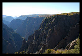 Tomichi Point
On of the first views of the canyon, right when you come in the park. There is also a hiking trail which goes by here then up to the visitor's center.
Date: September 21, 2003
Location: Tomichi Point, Black Canyon of the Gunnison N.P., UT
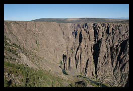 Gunnison river, in the canyon
Deep inside the canyon, lies the narrow ribbon of the Gunnison River. Even this far away, you can easily here it crash among the rocks.
Location: Visitors center, Black Canyon of the Gunnison N.P., UT
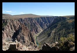 The canyon and the river
In this area, one side of the gorge is very steep and shear, while the other side has a bit more of a gentle slope.
Date: September 21, 2003
Location: Pulpit Rock Overlook, Black Canyon of the Gunnison N.P., UT
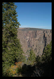 Pine tree and the canyon
The oak flat trail loops below the rim of the canyon, where large pine trees grow.
Date: September 21, 2003
Location: Oak Flat Trail, Black Canyon of the Gunnison N.P., UT
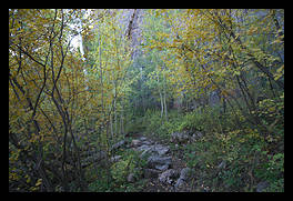 Yellow Aspens
In the shad of the canyon wall, a stand of aspens slowly prepares for the winter
Date: September 21, 2003
Location: Oak Flat Trail, Black Canyon of the Gunnison N.P., UT
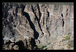 Painted rocks
A long time ago, hot lava pushed its way up through cracks in the rock then cooled, leaving this area of the cliffs with a painted look.
Date: September 21, 2003
Location: Cedar Point, Black Canyon of the Gunnison N.P., UT
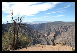 View from Warner Point
This is the end of the road. Warner point is named after the person who was influential in getting this area protected.
Date: September 21, 2003
Location: Warner Point Trail, Black Canyon of the Gunnison N.P., UT
Copyright 1995-2004, G. Edward Johnson. All rights reserved.