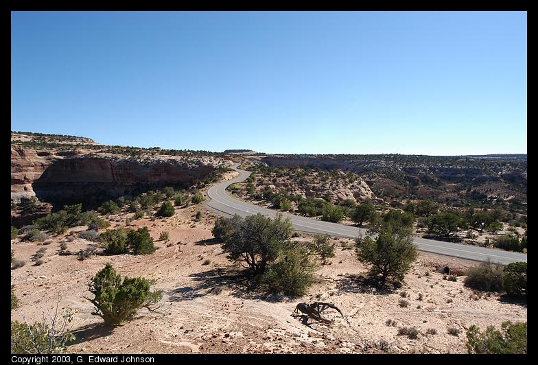
Canyon National Park is located in central Utah. There are three major parts to the park, Island In the Sky, the Needles, and the Maze. Since time was short, I only went to Island in the Sky for one day.
Canyon lands is a huge canyon that the Colorado and Green rivers flow through. It is not as large as the Grand Canyon, but it is spectacular and much less crowded. 1,200 feet below you lies White Rim, a broad light-colord sandstone shelf. it is punctuated by additional canyons going down another 1,000 feet to the two rivers.
From Moab, where I stayed, it is 32 miles to the visitors center, but there are dozens of miles of road inside the park too. There are several short trails scattered through the park. I went on the Upheaval Dome trail, Mesa Arch (you can hardly call it a trail, it is very short) and the Grand View Point trail. All were worthwhile.
To view a picture, click on the thumbnail image or its description.
Images Copyright 2003, G. Edward Johnson
 The Neck
Island in the sky is connected to the rest of the world by a skinny neck.
It is only a hundred yards wide or so. When it erodes away, than it really
will be an island. When this area was ranched, all that was needed was
a small section of fence across this area to keep the sheep in.
Date: September 18, 2003
Location: Mesa Arch, Canyonlands N.P., UT
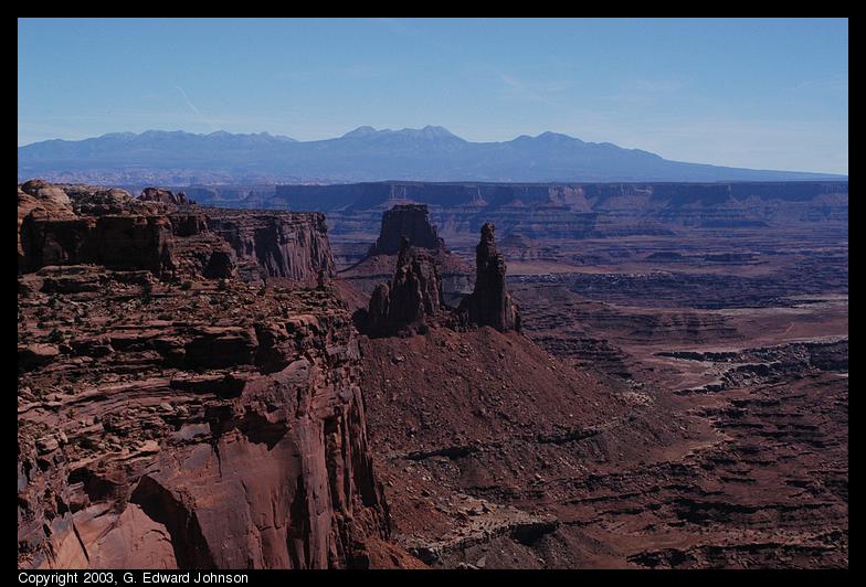 Canyon and wall
As the canyon trails off into the distance, it picks up a blueish color.
The mountains are on the far side of the canyon
Date: September 18, 2003
Location: Mesa Arch, Canyonlands N.P., UT
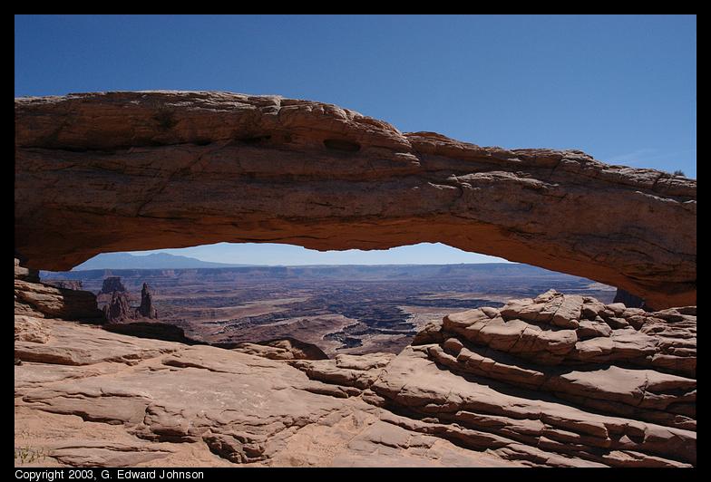 Mesa Arch
Arches are not nearly as common in this park as they are in Arches N.P. less
than 50 miles away. This is a fairly low arch at the edge of a cliff.
Date: September 18, 2003
Location: Mesa Arch, Canyonlands N.P., UT
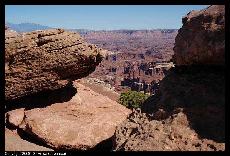
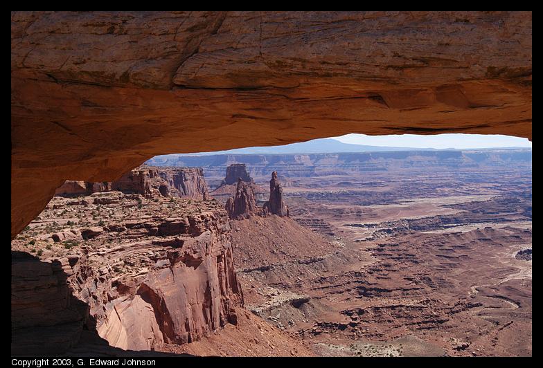 Under Mesa Arch
The rock at the top of the picture is Mesa arch. You get an interesting view of the canyon when you look through it.
Date: September 18, 2003
Location: Mesa Arch, Canyonlands N.P., UT
 Upheaval Dome
No one is sure what caused upheaval dome to form. The leading theories are
that either a salt dome pushed pushed the surrounding rock up or that a
meteorite crashed into the earth and this is the remains of the imact crater.
In either case, there has been thousands of years of erosion to obscure
the true nature of the dome.
Date: September 18, 2003
Location: Upheaval Dome, Canyonlands N.P., UT
 Rocks and the canyon
At Grand View Point, you have a great panoramic view around you. I however
found a pile of rocks and took a picture through them.
Date: September 18, 2003
Location: Grand View Point, Canyonlands N.P., UT
 Rock fins and the totem pole
Deep within the canyon, below the white rim is another layer of rock that
is eroded into fin shapes. On the far left of the picture in the middle,
you see a tall, skinny monolith named totem pole.
Date: September 18, 2003
Location: Grand View Point, Canyonlands N.P., UT
Copyright 1995-2004, G. Edward Johnson. All rights reserved.